
As-Built LiDAR Measuring & Permit Base Plans BC
Path to Building Permit Approval
From 360° LiDAR scanning on day one to municipal building permit approval — every step is covered.
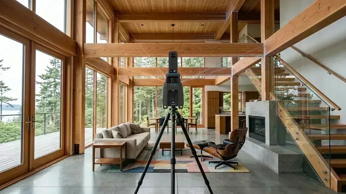
360° LiDAR Site Scan
Our technician captures thousands of laser measurements per second, creating a millimeter-accurate 3D digital twin of your existing space — far faster and more precise than traditional tape-measure methods.
2D CAD Spatial Layout & Baseline Data
We process raw scan data to generate clean 2D AutoCAD (DXF) spatial exports, dimensional PDF floor plans, and interactive 360° virtual tours for your designer, engineer, or contractor to draft from.
Renovation & TI Permit Design
Our design team overlays proposed layout modifications on the as-built base, checking BC Building Code compliance, fire separations, travel distances, and Step Code energy targets.
Municipal Permit Submission
We assemble the complete permit drawing package, handle city portal submission, and resolve municipal review comments until your building permit is approved.
Proven As-Built Track Record Across BC
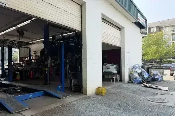
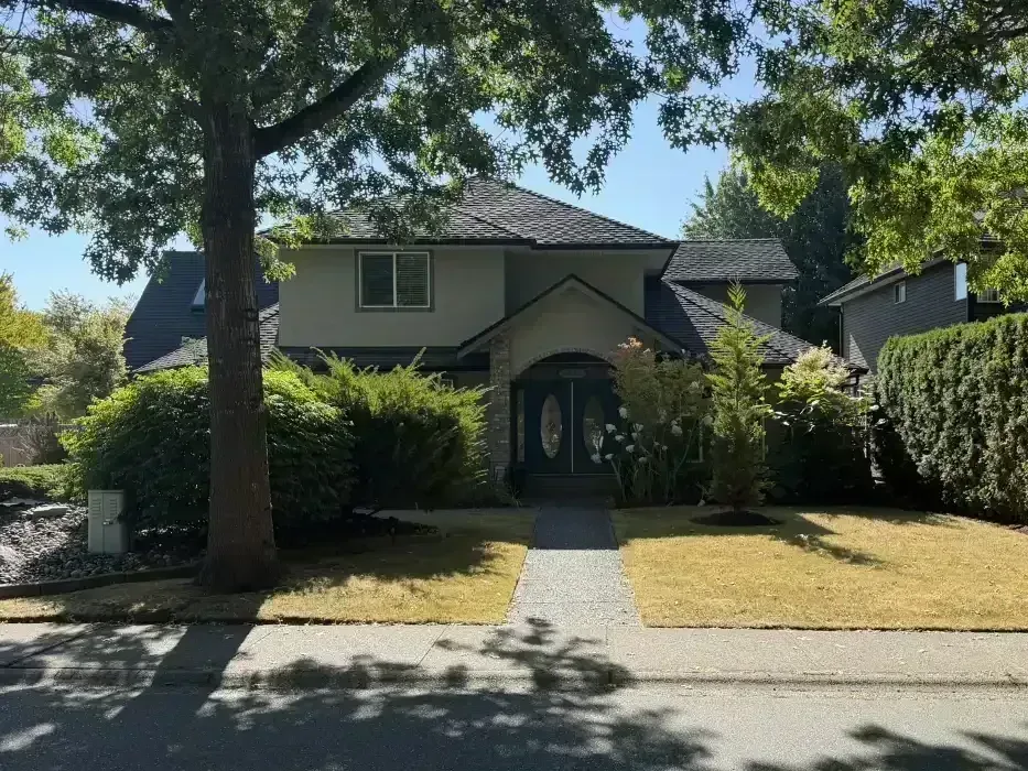
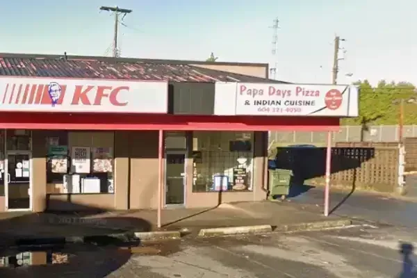
We have helped homeowners and commercial tenants across BC capture accurate existing conditions, avoid permit rejections, and kick-start their renovation and TI projects on solid footing.
Why Accurate As-Builts Are Mandatory for BC Permits
Any major renovation, home addition, or commercial Tenant Improvement requires an accurate set of base drawings before you can apply for a building permit. Municipalities in Metro Vancouver and across BC will immediately reject a permit application if the existing conditions are assumed or inaccurate.
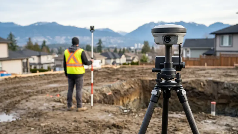
We use a 360° LiDAR Scanner — a tripod-mounted device that shoots thousands of laser pulses per second to capture every wall, door, window, column, and structural beam with millimeter accuracy. We process this spatial data to produce accurate 2D AutoCAD (DXF) floor plans, dimensional PDF reports, and interactive 360° walkthroughs—giving your designer, engineer, or contractor the exact spatial foundation they need.
From scope definition to final file delivery, our 4-step process sets up your renovation or commercial TI permit application on a solid, undeniable foundation of data. Looking for detailed technical file deliverables and sample drawings? Explore our Permit Base Plan Details or review our LiDAR As-Built Pricing Guide. Wondering when a simple tape measure is sufficient versus when a professional survey is needed? Explore our DIY As-Built Measuring Guide.
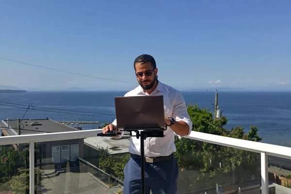
"Municipalities will reject permit applications the moment they detect assumed or inaccurate existing conditions. A 360° LiDAR scan eliminates that risk entirely."
 Edward Vega, Founder
 Get an As-Built & Permit Proposal
Ready to get started? Send us your project details below for a free feasibility review and upfront fixed-fee proposal covering LiDAR scanning and permit drawings.
Phone
Business Hours
Weekdays: 8:30 AM - 5:00 PM
Weekends: Closed
Stat Holidays: Closed
Professional Standing
• ASTTBC Registered Technology Practice
• WorkSafeBC Active Safety Coverage
• Errors & Omissions (E&O) Insured (Gallagher Canada)
As-Built Measuring & Permit Resources
Explore our complete guide on 360° LiDAR scanning, point cloud data, AutoCAD deliverables, and when As-Built measurements are required for BC building permits.
Looking for Complete Technical & Permit Base Plan Specifications?
Learn when As-Built LiDAR scanning is mandatory for BC building permits, how Scan-to-BIM point cloud modeling works, and download sample AutoCAD and PDF deliverables.
Your City, Our Expertise
Each municipality has its own bylaws, quirks, and submission preferences. We've worked with them all — and we know what each one wants before you even apply.
Is your city not listed? Contact us to learn if we serve your area!
Frequently Asked Questions
Still have questions?
Our team is ready to help clarify any details about your specific project.
Ask Us AnythingAs-built measuring is required when the municipality has no Original Drawings on file or when past unpermitted changes mean records no longer match reality. For simple interior cosmetic updates, taking your own measurements with a laser pointer or tape measure is often sufficient. For major renovations, additions, or commercial fit-outs, professional 3D LiDAR scanning creates an undeniable baseline, saves trips to the property, and delivers CAD/PDF sets ready for design and engineering. Check our DIY As-Built Measuring Guide for practical measuring tips.
Most Lidar as-built measuring appointments take 2–3 hours on site, depending on the size and complexity of the property.
You will typically receive your digital deliverables (floor plans, 360° walkthrough, etc.) within 2–3 business days after the scan.
For best results, we recommend measuring the entire space. This ensures the most accurate and complete as-built documentation.
Our standard package starts at $0.30 per square foot, with rates as low as $0.15/SF for larger spaces. Contact us for a custom quote based on your project size and needs.
No, the standard package includes what the Lidar scanner provides: a 360° walkthrough and floor plans. Construction-style floor plans, Elevations, and 3D drawings require additional post-processing and are priced individually. Contact us for a quote on these services.
Still have questions?
Our team is ready to help clarify any details about your specific project.
Ask Us Anything