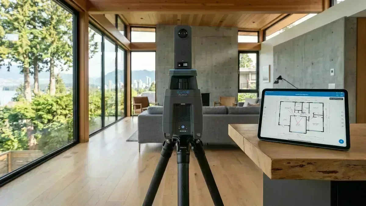
You are responsible for capturing interior spaces reliably with iGUIDE PLANIX Pro 360° LiDAR scanners (±1 cm / ~0.4 in typical on clearly visible interior walls). You execute systematic scan station grids across residential homes, multi-level townhouses, and commercial spaces, ensure optimal line-of-sight overlap, prevent scan drift, and manage mirror/glass reflective surfaces to capture clean spatial datasets and PDF/CAD (DWG/DXF)/ESX/3D model exports.
- • Expert operation of iGUIDE PLANIX Pro 360° LiDAR scanning systems
- • Optimizing scan station placement to capture complete spatial footprints without blind spots
- • Managing reflective surfaces, full-height glazing, and ambient sunlight to prevent point cloud noise
- • Producing high-resolution 360° photographic virtual site records that eliminate revisits
LiDAR scans must be paired with physical laser disto measurements. Using Leica Geosystems laser distance meters, you take cross-diagonal checks across major rooms, confirm exterior foundation dimensions and site features by hand, record wall thicknesses (accounting for drywall, framing, and siding), and measure ceiling drops, stair risers, and window sill heights within manufacturer tolerances.
- • Manual laser cross-check of overall building dimensions and room diagonals
- • Accurate recording of true wall thicknesses across exterior assemblies and interior partitions
- • Measuring floor-to-floor heights, beam drop depths, and crawlspace/attic clearances
- • Maintaining consistent field verification using Leica Disto meters within manufacturer tolerances
A great field technician understands building anatomy. You crawl into attics and crawlspaces to inspect structural framing directions, identify load-bearing walls, locate structural posts, beams, and foundation steps, and spot unpermitted historical additions. Your field notes highlight structural conditions so the drafting team models existing conditions with complete structural integrity.
- • Identifying load-bearing partitions, post locations, and structural beam spans on-site
- • Inspecting crawlspaces and basements for foundation type, stepping, and moisture conditions
- • Documenting electrical panel capacities, water main locations, and plumbing cleanouts
- • Flagging visible structural sag, unpermitted framing modifications, or structural damage
Field data is time-sensitive. Before leaving any site, you perform a digital data audit on your tablet to verify that every room, closet, and utility space is fully captured. You tag plumbing stacks, HVAC runs, and electrical panels directly in the field app. You sync all point-cloud datasets, 360 virtual tours, and field sketches to the central BIM repository within 4 hours of site departure.
- • Conducting real-time tablet QA checks on site to ensure zero missing scans or shadow zones
- • Tagging utility locations, service meters, and building features in the digital site tour
- • Adhering to strict 4-hour cloud sync SLAs for point-cloud data and field survey documentation
- • Professional on-site demeanor representing Canadian Blueprint with homeowners and building managers
We look for field technicians who are familiar with modern AI tools as a conversational assistant for double-checking work. We are not looking for an AI automation developer. Rather, you are comfortable using conversational AI on a mobile or tablet device to review field notes, double-check checklist items against municipal survey requirements, and organize site observations clearly for the drafting team.
- • Familiarity using conversational AI tools to review and format field survey observation notes
- • Using conversational AI to double-check field checklists against municipal site inspection guidelines
- • Drafting clear, organized site deficiency summaries for the BIM drafting team using conversational AI
- • Verifying that all field notes accurately represent physical site measurements and framing conditions
Every role at Canadian Blueprint requires active ownership, cross-discipline coordination, and adherence to our precision delivery standards.
- • Travel to client sites across Greater Vancouver and the Fraser Valley for precision field measurements.
- • Operate 3D LiDAR scanners and laser distance meters to document existing building envelope and structural assemblies.
- • Identify structural changes, illegal walls, unpermitted additions, and beam spans for the drafting team.
- • Upload point clouds, 360 virtual tours, and field notes within 4 hours of site departure.
- • Maintain clean jobsite safety and professional client relations in occupied homes and commercial spaces.
Our production pipeline standardizes on leading BIM, laser scanning, and quality assurance platforms across all 22 municipal markets.
Leica Geosystems Disto Lasers iGUIDE PLANIX Pro LiDAR Camera iPad Pro LiDAR Field Apps Cloud Sync Repositories